
Districts
Sri Lanka is divided into 25 districts, each governed by a District Secretary and further subdivided into Divisional Secretariats and Grama Niladhari Divisions. These districts are organized into nine provinces, reflecting the island’s rich cultural and geographical diversity.

Districts
Sri Lanka is divided into 25 districts, each governed by a District Secretary and further subdivided into Divisional Secretariats and Grama Niladhari Divisions. These districts are organized into nine provinces, reflecting the island’s rich cultural and geographical diversity.

Districts
Sri Lanka is divided into 25 districts, each governed by a District Secretary and further subdivided into Divisional Secretariats and Grama Niladhari Divisions. These districts are organized into nine provinces, reflecting the island’s rich cultural and geographical diversity.

Districts
Sri Lanka is divided into 25 districts, each governed by a District Secretary and further subdivided into Divisional Secretariats and Grama Niladhari Divisions. These districts are organized into nine provinces, reflecting the island’s rich cultural and geographical diversity.

Districts
Sri Lanka is divided into 25 districts, each governed by a District Secretary and further subdivided into Divisional Secretariats and Grama Niladhari Divisions. These districts are organized into nine provinces, reflecting the island’s rich cultural and geographical diversity.
Kurunegala District
Kurunegala is a district in North Western Province, Sri Lanka. Consists of 4812.7 km2 48,1270 Hectares and Consists 30 Divisional Secretariats, 1610 Grama Niladari Divisions and 4476 total Villages. It consists of 14 Electorate Divisions, 02 Municipal Council, 19 Urban Councils, 15 Parliamentary Ministers, 47 Provincial Council Members, 15 Ministers and 337 Local Council Members.
Considering Geographical Situation of the Kurunegala District, it has been bounded by five Districts. From the North by Anuradhapura District, East by Mathale District, South By Gampaha and Kegalle District and from West by Puttlam District. Longitude location of the District is north Latitude 228- 333 and East Latitude 104-178.
Kurunegala has very special historical background among other Districts. That is it consists of four ancient kingdoms namely Panduwasnuwara, Kurunegala, Yapahuwa and Dambadeniya.
As a percentage of Total population of Sri Lanka, Kurunegala District has 7.3% of the population. According to the census data, the estimated population of Kurunegala in the year 2001 was 1.4 Million. Majority of Kurunegala District's residents belong to the Sinhalese majority. Other ethnic minorities include the Sri Lankan Moors, Sri Lankan Tamils, Burghers and Malays. Residents from ethnic minorities live in all parts of the District.
Districts of Sri Lanka
-
 Ampara District
A district rich in agriculture, Ampara offers pristine beaches, historical Buddhist sites, and a diverse cultural landscape.
-
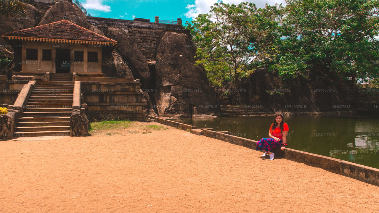 Anuradhapura District
One of the ancient capitals, Anuradhapura is a UNESCO World Heritage Site, rich with historic Buddhist monuments and temples.
-
 Badulla District
Badulla is a scenic district surrounded by mountains, tea plantations, and stunning waterfalls, offering a peaceful retreat.
-
 Batticaloa District
Known for its lagoons and beaches, Batticaloa is a serene district with a rich blend of Tamil and Muslim culture.
-
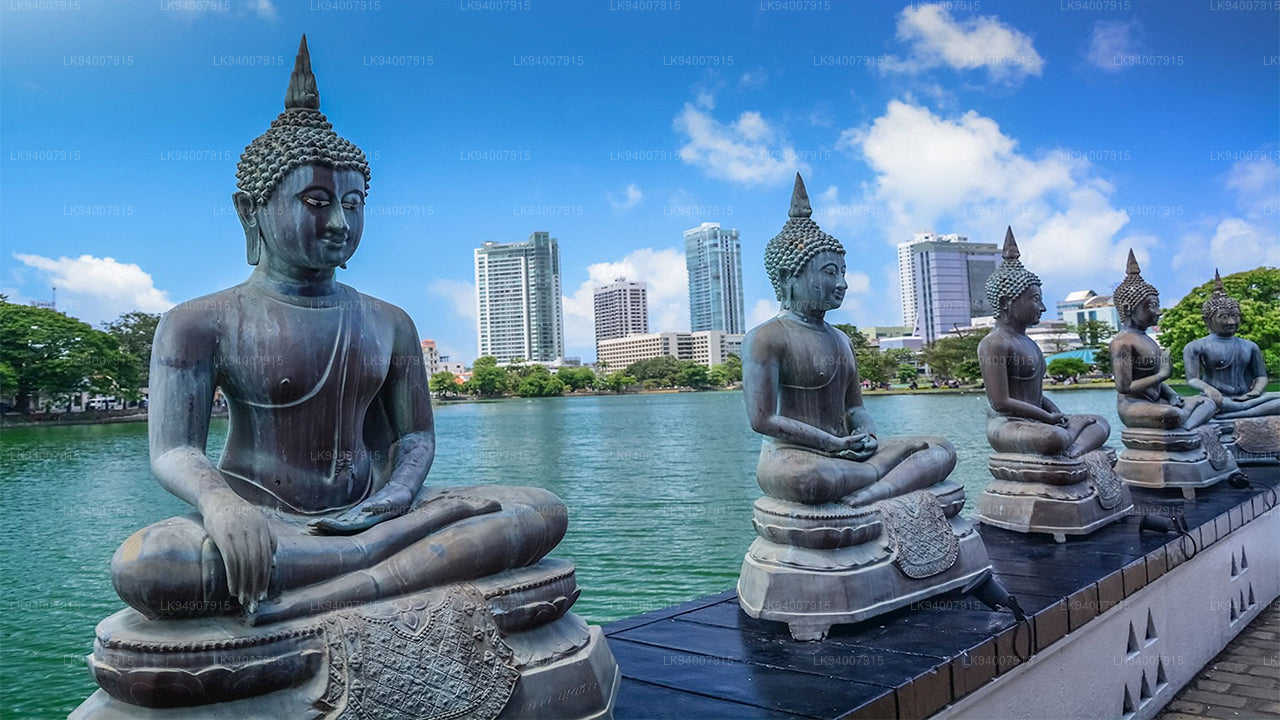 Colombo District
Sri Lanka’s bustling commercial capital, Colombo is a vibrant metropolis known for its urban landscape, colonial architecture, and coastal beauty.
-
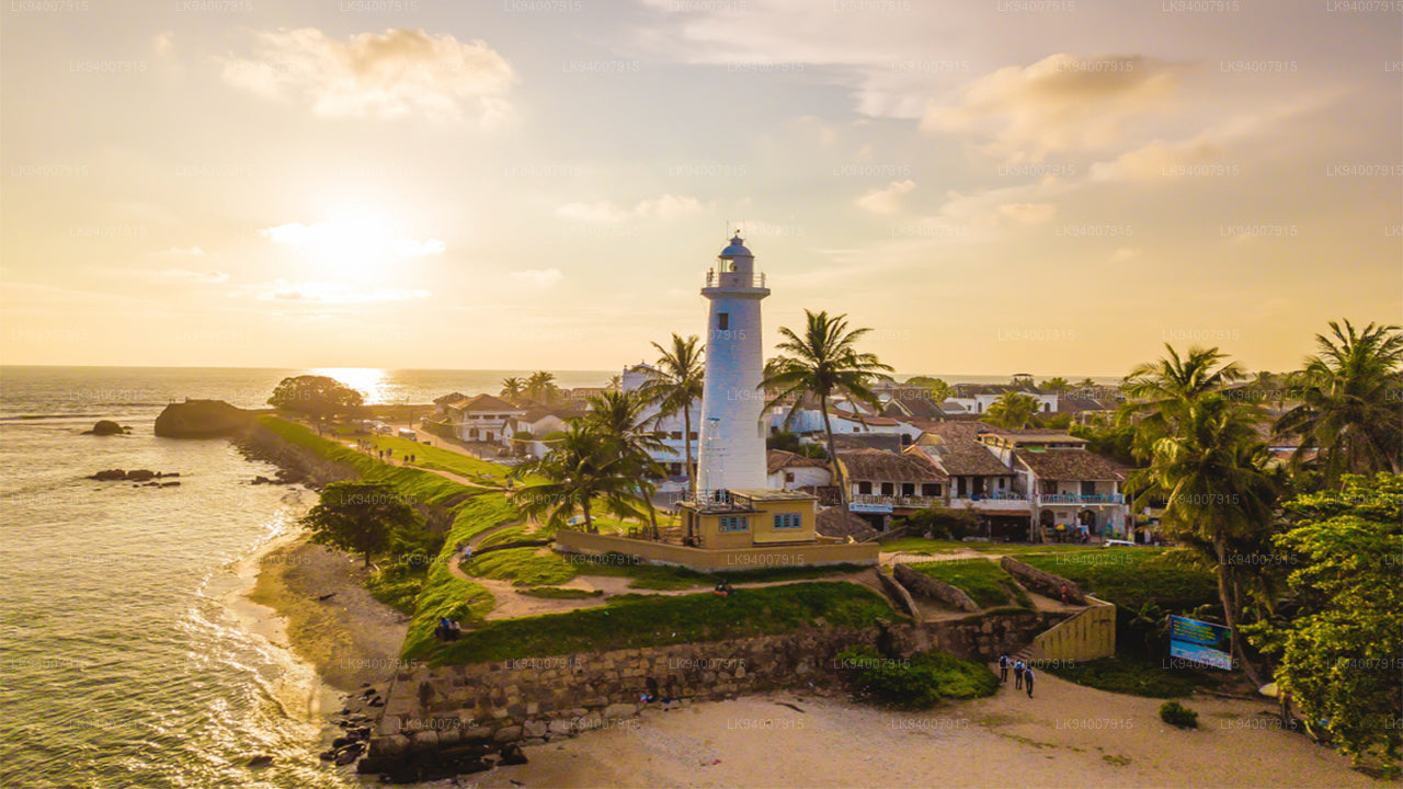 Galle District
A historic coastal district, Galle is famous for its UNESCO-listed Dutch Fort, pristine beaches, and rich colonial history.
-
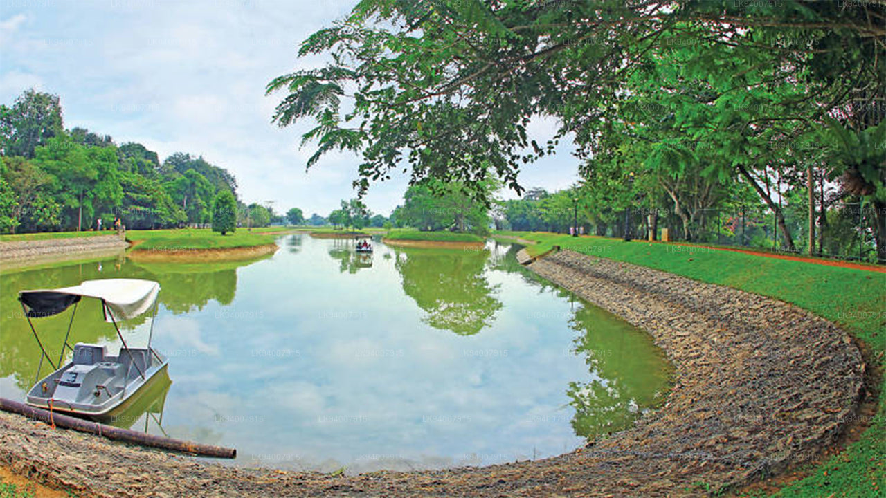 Gampaha District
A district blending urban and rural life, Gampaha is home to the Katunayake Airport and scenic beaches.
-
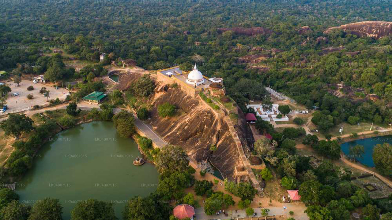 Hambantota District
Known for its wildlife parks, including Yala and Bundala, Hambantota is a growing hub of development and eco-tourism.
-
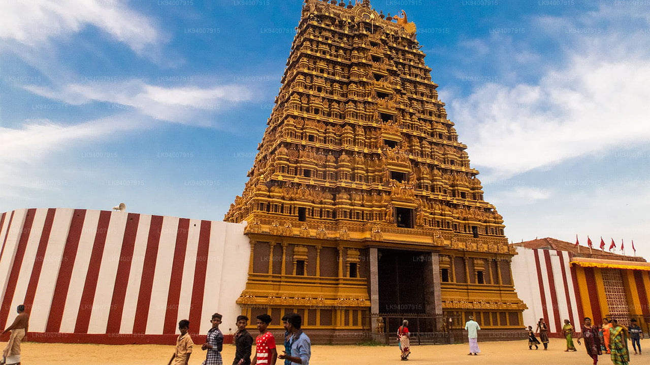 Jaffna District
The cultural center of Tamil heritage, Jaffna is known for its historic temples, vibrant culture, and rich history.
-
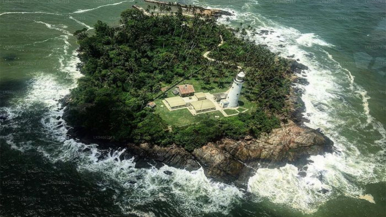 Kalutara District
Known for its historic Kalutara Bodhiya and beautiful beaches, Kalutara offers coastal charm and religious significance.
-
 Kandy District
Famous for the Temple of the Tooth and its stunning lake, Kandy is the cultural heart of Sri Lanka and a UNESCO World Heritage Site.
-
 Kegalle District
Kegalle is known for its rubber plantations and the Pinnawala Elephant Orphanage, a popular tourist attraction.
-
 Kilinochchi District
A primarily agricultural district, Kilinochchi has seen rapid post-war development and is home to numerous water resources.
-
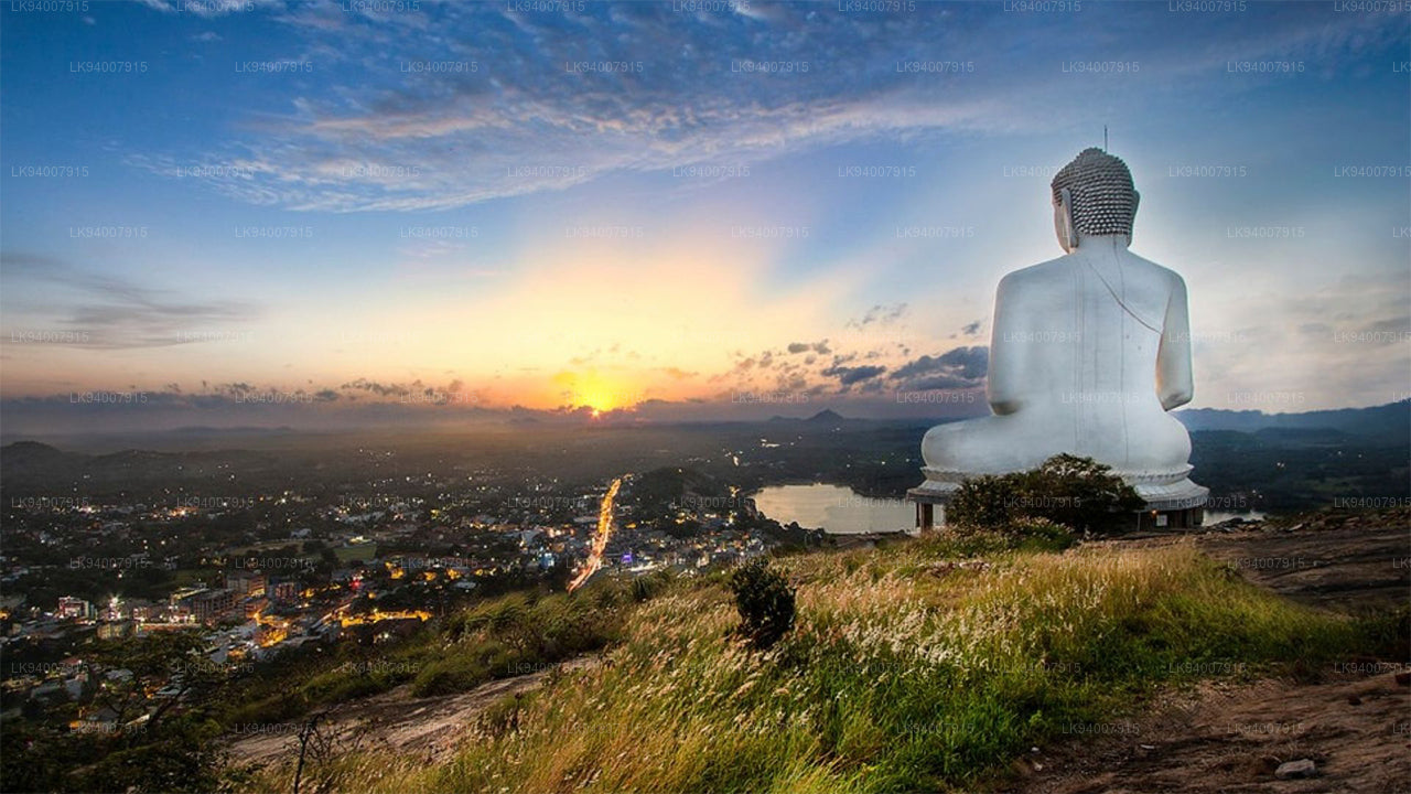 Kurunegala District
Famous for its elephant rock, Kurunegala is an agricultural hub surrounded by historic ruins and religious sites.
-
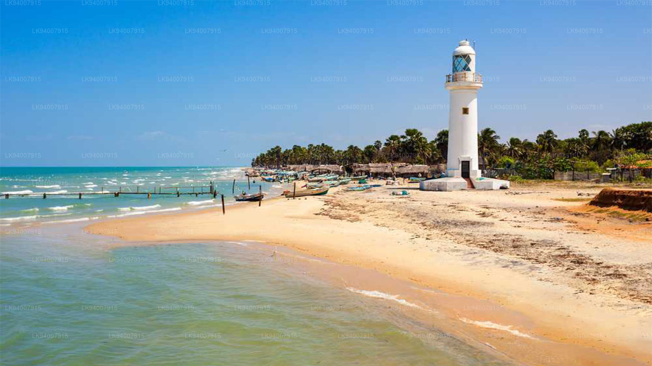 Mannar District
Famous for its unique landscapes, pearl fisheries, and the historic Mannar Fort, this district has a rich maritime history.
-
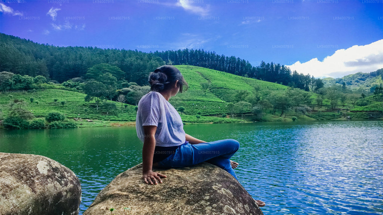 Matale District
A district filled with spice plantations, waterfalls, and historic temples, Matale offers scenic natural beauty.
-
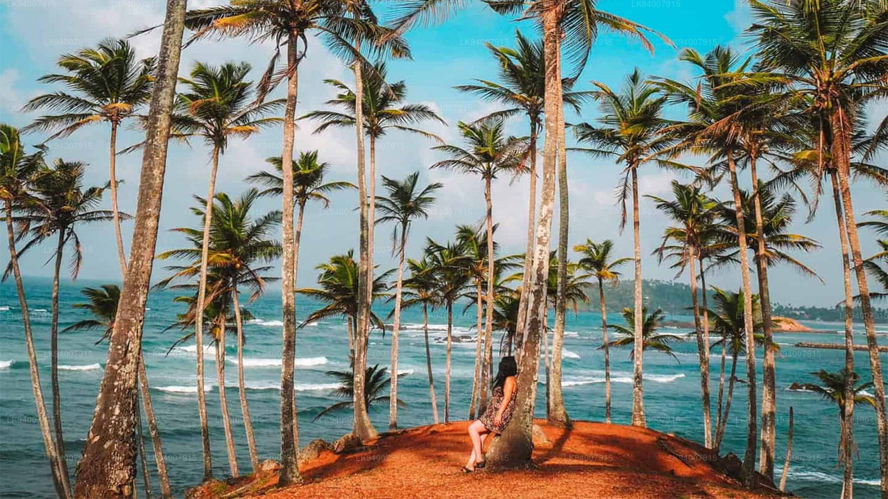 Matara District
Matara boasts stunning beaches, the Dondra Head lighthouse, and a mix of coastal and cultural attractions.
-
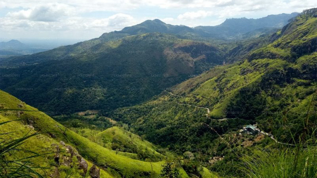 Monaragala District
Known for its rugged landscapes and rich biodiversity, Monaragala is an agricultural district with vast natural beauty.
-
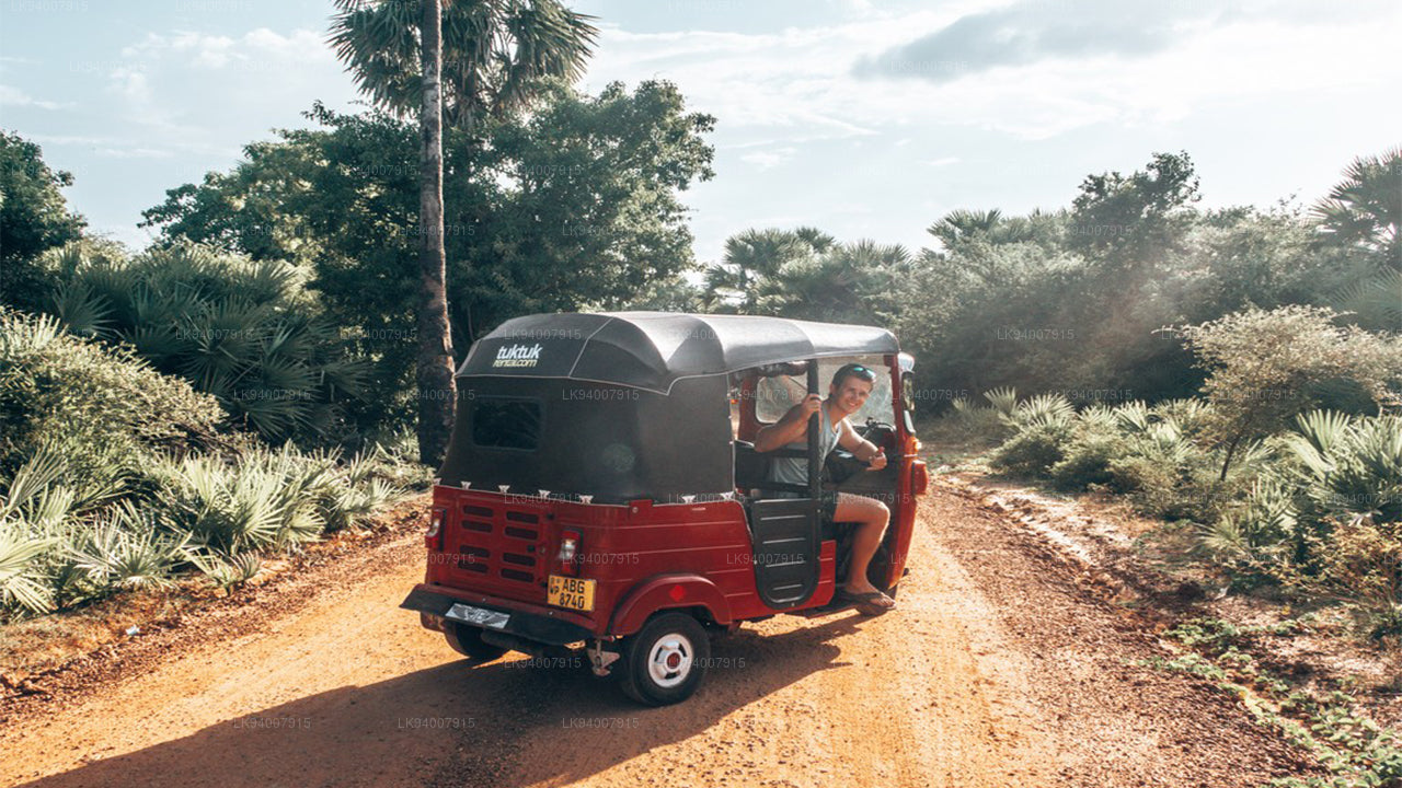 Mullaitivu District
A largely rural and coastal district, Mullaitivu is known for its beaches and significant history during the civil conflict.
-
 Nuwara Eliya District
Often called "Little England," Nuwara Eliya is renowned for its cool climate, tea plantations, and colonial architecture.
-
 Polonnaruwa District
Polonnaruwa is a treasure trove of ancient ruins, including the famous Gal Vihara, and a key archaeological site.
-
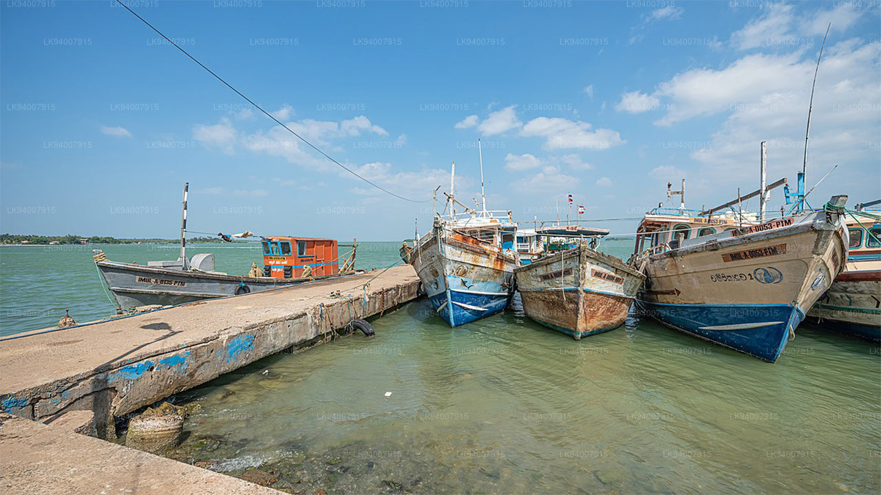 Puttalam District
Puttalam is known for its coastal lagoons, wildlife sanctuaries, and salt production, along with a growing wind energy sector.
-
 Ratnapura District
The "City of Gems," Ratnapura is famous for its gem mining and lush green landscapes filled with waterfalls and tea estates.
-
 Trincomalee District
A coastal gem, Trincomalee is home to beautiful beaches, historic Hindu temples, and one of the world’s finest natural harbors.
-
 Vavuniya District
A key transit hub between the north and south, Vavuniya is known for its agriculture and growing urbanization.


