
Provinces
The Democratic Socialist Republic of Sri Lanka (known as Ceylon until 1972) is located in the Indian Ocean between the Laccadive Sea in the west and the Bay of Bengal in the east, separated by the Palk Strait and the Gulf of Mannar from Tamil Nadu, an Indian state on the southern coast of the Indian subcontinent.
Provinces
In Sri Lanka, provinces are the first-level administrative divisions, playing a key role in the country’s governance structure. They were originally established by British rulers in 1833 during the colonial era of Ceylon. However, over the next century, most administrative powers were gradually shifted to the districts, which became the second-level division. By the mid-20th century, provinces had largely lost their administrative significance and were reduced to ceremonial status.
This dynamic shifted significantly in 1987 with the enactment of the 13th Amendment to the 1978 Constitution, following growing demands for decentralization. This amendment reestablished provinces as a vital part of the country’s political system by creating provincial councils. These councils were introduced as part of the Indo-Sri Lanka Accord to address ethnic tensions and give more local autonomy, particularly in regions like the Northern and Eastern provinces. As a result, each province now has its own council with authority over key areas such as education, health, and infrastructure.
Currently, Sri Lanka is divided into nine provinces: Western, Central, Southern, Eastern, Northern, North Western, North Central, Sabaragamuwa, and Uva. Each province contributes uniquely to the country’s economy and culture, from the urbanized Western Province, which includes the commercial capital Colombo, to the rural and agricultural heartlands of the North Central and Uva provinces. These provinces not only reflect the geographical diversity of Sri Lanka but also serve as a framework for decentralized governance, promoting local development while preserving the country's unity.
-
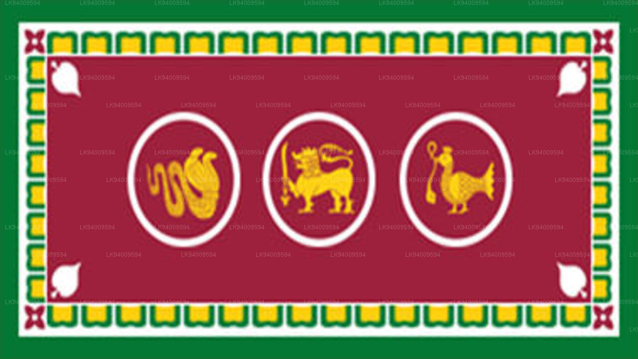 Western Province
The most densely populated province of Sri Lanka, the Western Province which is 3,593 km2 in extent is home to the country’s legislative capital Sri Jayewardenepura. It is also home to the country’s commercial hub, Colombo.
-
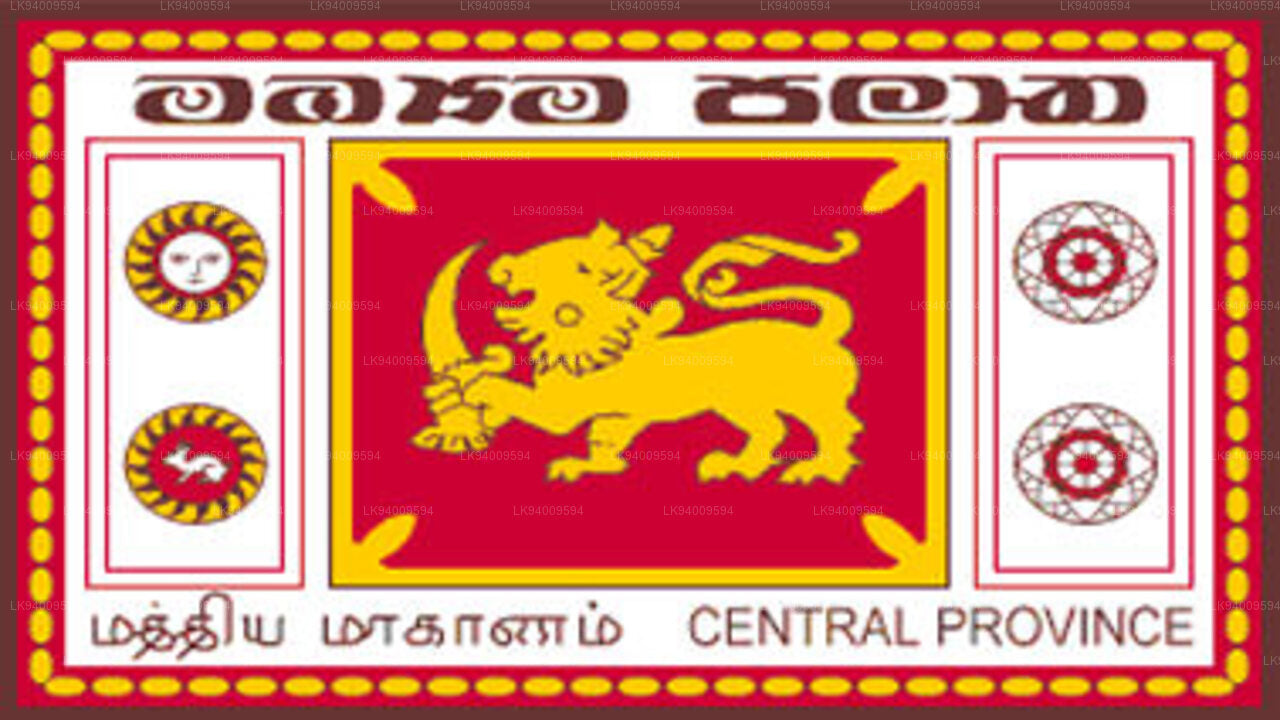 Central Province
The Central Province is located in the central hills of Sri Lanka comprising of three administrative districts: Kandy, Matale and Nuwara-Eliya. The land area of the province is 5,575 km2 which is 8.6% of the total land area of Sri Lanka.
-
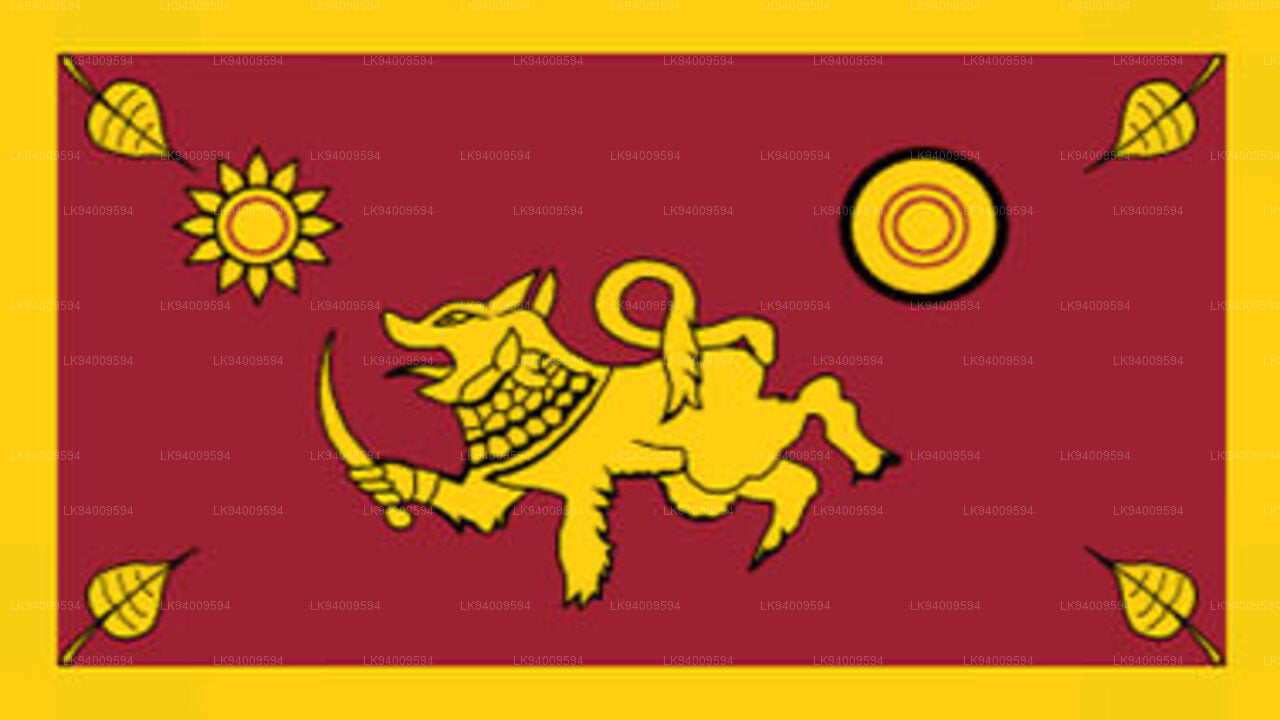 Southern Province
The Southern Province of Sri Lanka is a small geographic area consisting of three districts: Galle, Matara and Hambantota. Farming and fishing are the main sources of income for the vast majority of the people in this region.
-
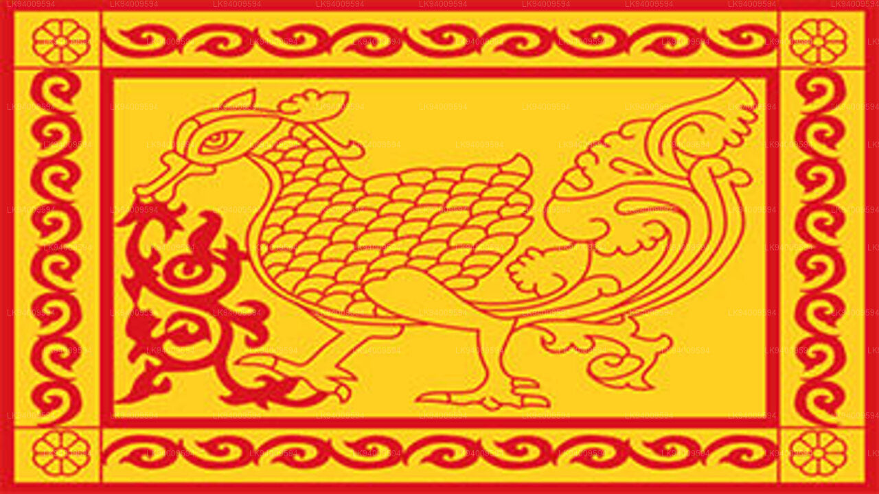 Uva Province
The Uva Province consists of two districts: Badulla and Moneragala while the capital of the province is Badulla. Uva is bordered by the Eastern, Southern and Central provinces.
-
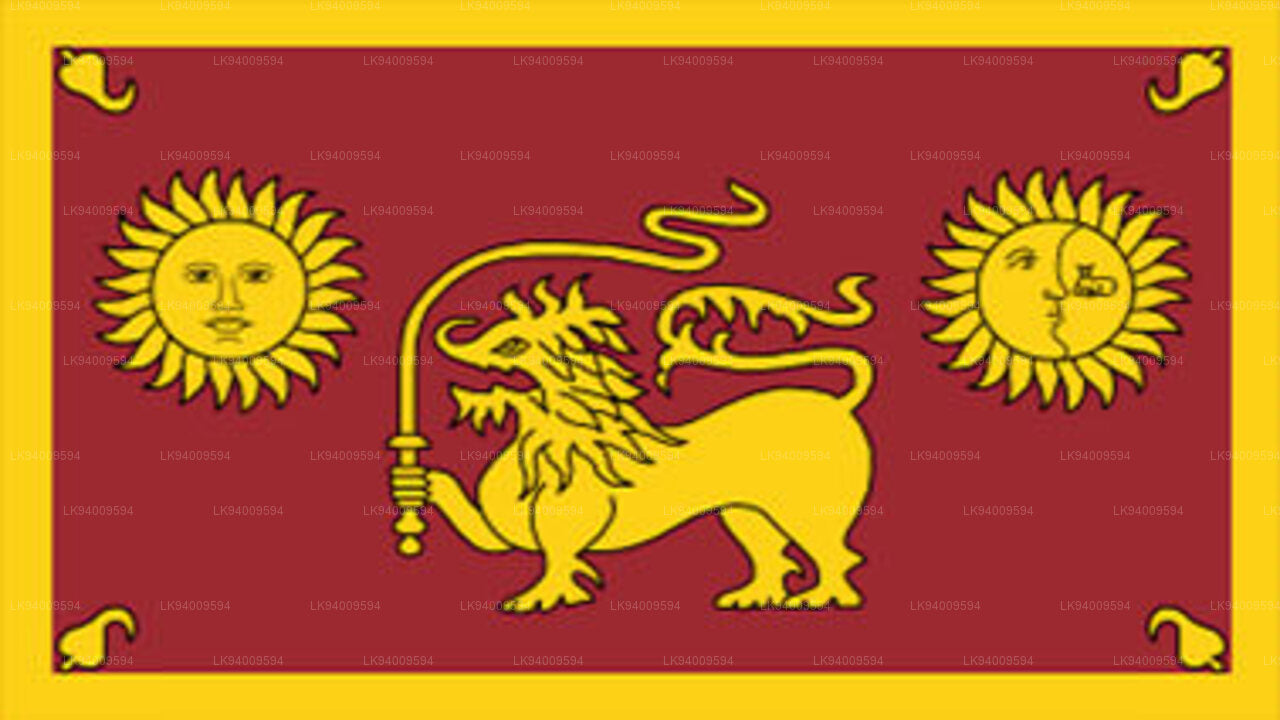 Sabaragamuwa Province
Sabaragamuwa is yet another province of Sri Lanka, located in the south-central region of the island and is comprised of two administrative districts: Ratnapura and Kegalle.
-
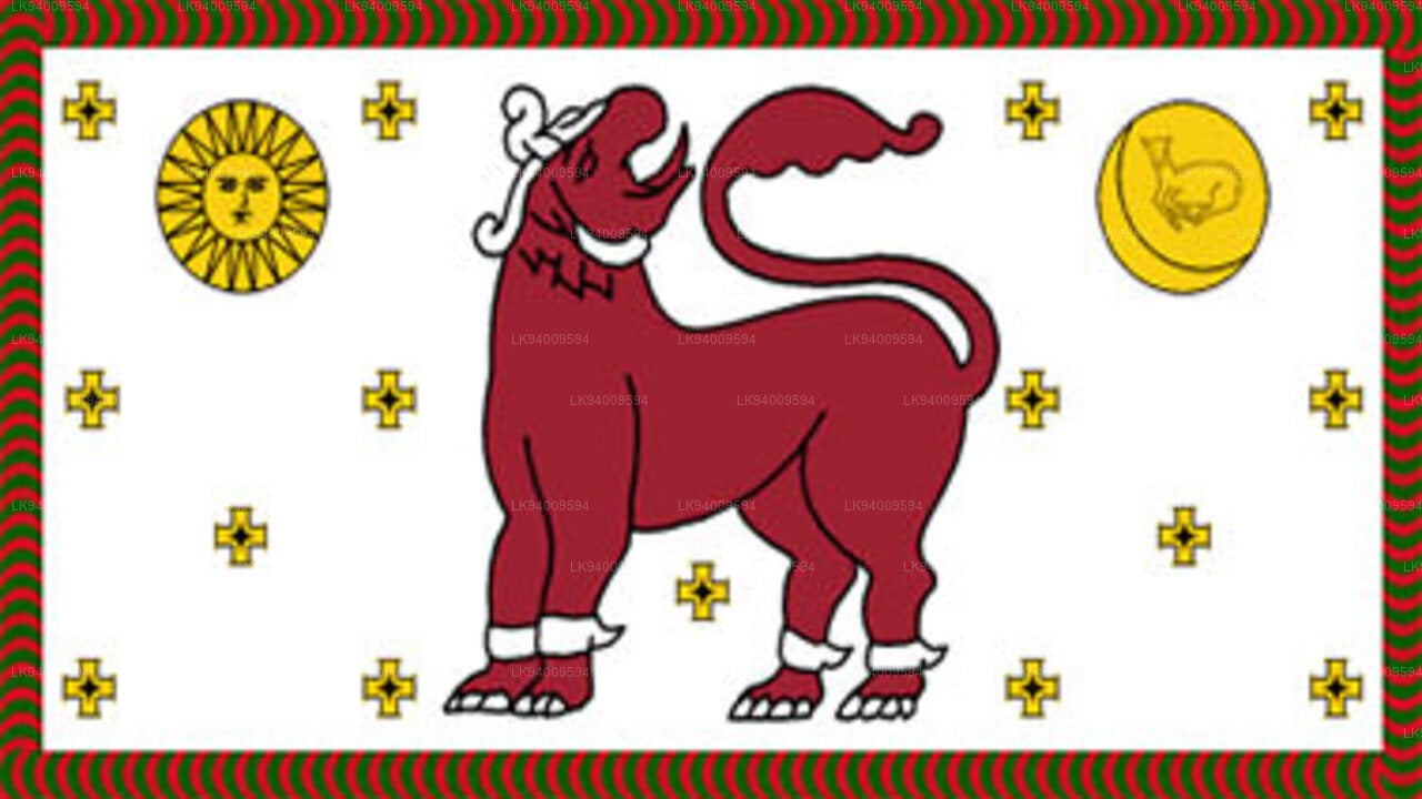 North Western Province
North Western Province is comprised of two administrative districts viz. Kurunegala and Puttalam. The provincial capital is Kurunegala that has a population of 28,571. The province is well known for its coconut plantations.
-
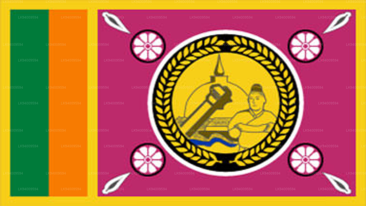 North Central Province
The largest province of Sri Lanka, located in the dry zone being 10,714 km2 in extent, the North Central Province that consists of two administrative districts viz. Anuradhapura and Polonnaruwa,
-
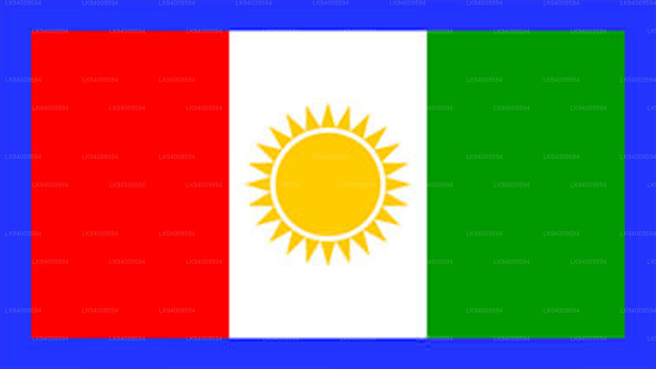 Northern Province
The Northern Province is located in the north of Sri Lanka just 35 km from India. It has a land area of 8,884 km’. The province is surrounded by the Gulf of Mannar and Palk Bay to the west, Palk Strait to the north west, the Bay of Bengal to the north and east and the Eastern, North Central and North Western provinces to the south.
-
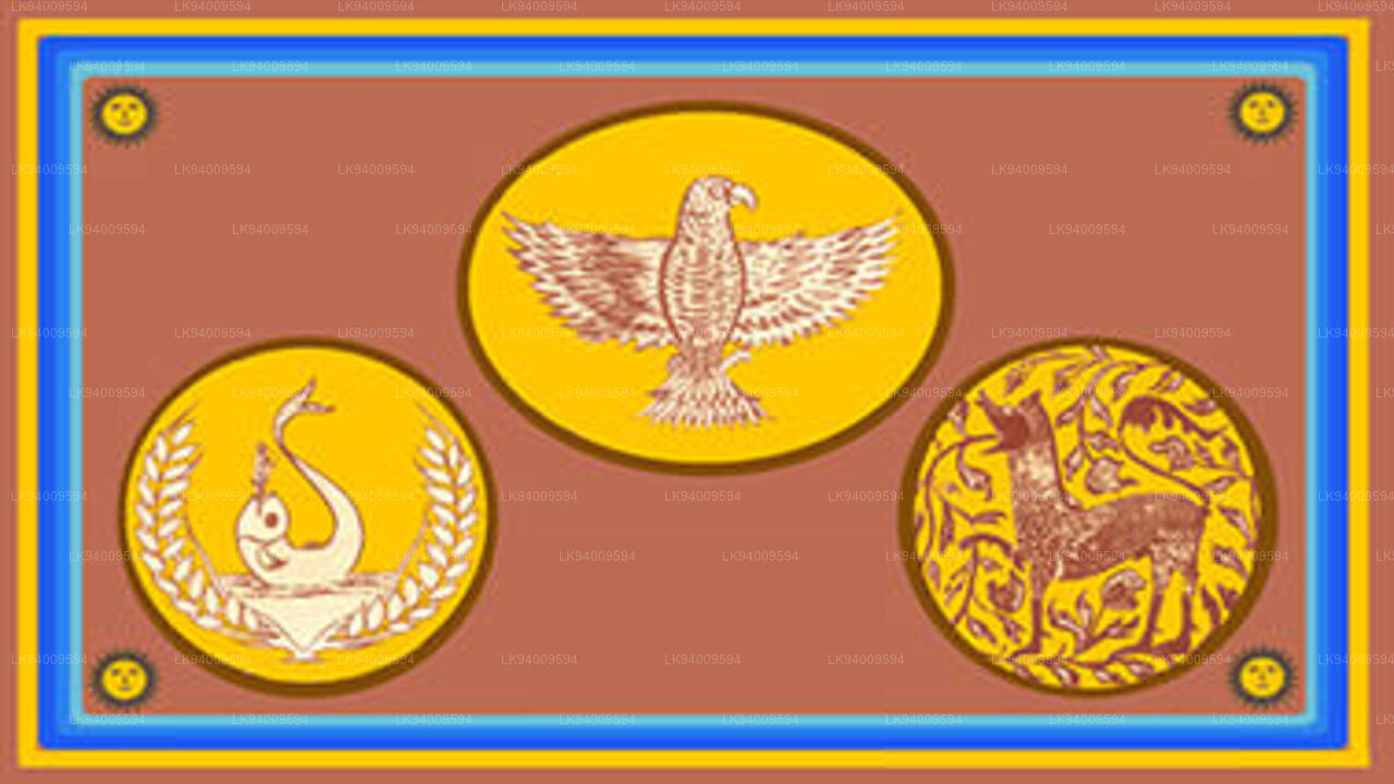 Eastern Province
Another province of Sri Lanka mostly known for its golden beaches and the natural harbour, the Eastern Province which is 9,996 km2 in extent consists of three administrative districts namely Trincomalee, Batticaloa and Ampara.


