Badulla City
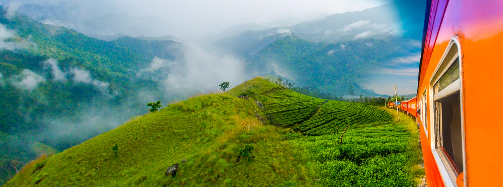
Badulla: Scenic town in Sri Lanka's hill country, surrounded by lush tea plantations and offering picturesque landscapes, waterfalls, and cultural sites.
바둘라
바둘라는 스리랑카 우바 주 바둘라 지구에 있는 도시입니다.바둘라는 캔디 남동쪽에 위치하고 있으며 해발 680m (2,230피트) 높이의 바둘루 오야 (Badulu Oya) 로 거의 둘러싸여 있으며 차 농장으로 둘러싸여 있습니다.이 도시는 나무누쿨라 산맥 (해발 2,016m (6,614ft) 최고봉) 로 인해 가려져 있습니다.이곳은 대영 제국의 일부가 되기 전에 캔디의 주요 왕 아래 지역을 통치했던 식민지 시대 이전의 싱할라 지역 왕자 (지역 왕) 의 기지였습니다.나중에 이곳은 영국 통치자들의 지방 행정 중심지 중 하나가 되었습니다.이 도시는 주로 차 농장 제품을 콜롬보로 가져가기 위해 영국인이 건설한 업컨트리 철도 노선의 종착지였습니다.
바둘라의 티 플랜테이션
Badulla는 스리랑카 차 산업의 주요 업체입니다.Badulla는 농작물에 크게 의존하는 완만 한 경제를 가지고 있습니다.이 외에도 대부분의 농업은 생계 품종이며 산업은 거의 없습니다.세계적으로 유명한 우바 지역은 다른 차 지구와는 매우 다른 지역입니다.이곳은 샴페인 티 공간입니다.Uva는 매우 개인적이고 다른 품질의 계절을 경험합니다.AT Uva 지역 공장에서는 CTC 차 품종뿐만 아니라 전체 잎 및 소 잎 등급의 풍력 발전소를 생산합니다.
바둘라 지구 소개
바둘라는 스리랑카 우바 주의 수도입니다.바둘라는 캔디 남동쪽에 위치하고 있으며 해발 680미터 (2200피트) 높이의 바둘루 오야 (Badulu Oya) 로 거의 둘러싸여 있으며 차 농장으로 둘러싸여 있습니다.이 마을은 나무누쿨라 산맥의 산맥으로 가려져 있습니다.바둘라는 콜롬보에서 스리랑카 중앙 언덕의 동쪽 경사면을 향해 약 230km 떨어져 있습니다.
호튼 플레인스 국립공원과 너클즈 산맥이 몇 시간 거리에 있기 때문에 바둘라와 주변 지역은 생태 관광객에게 적극 권장됩니다.
우바 주 소개
우바 주는 스리랑카에서 두 번째로 인구가 적은 주이며, 1896년에 설립된 1,187,335명의 인구가 거주하고 있습니다.이곳은 바둘라 (Badulla) 와 모네라갈라 (Moneragala) 라고 불리는 두 개의 지구로 구성되어 있으며,우바는 동부, 남부 및 중부 지방과 접해 있습니다.주요 관광 명소로는 던힌다 폭포, 디얄루마 폭포, 라와나 폭포, 얄라 국립 공원입니다.(일부는 남부 및 동부 지방에 위치) 와 Gal Oya 국립 공원 (일부 동부 지방에 위치).갈 오야 언덕과 센트럴 마운틴이 주요 고지대이며, 마하웰리 강과 메닉 강과 거대한 세나나야케 사무드라야와 마두루 오야 저수지가 있습니다.우바 지방의 주요 수로입니다.
Special places in Badulla
-
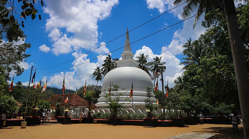
 Muthiyangana Raja Maha Vihara
Muthiyanganaya Raja Maha Viharaya lies in the centre of the city of Badulla. The History of this temple goes back to the time of Buddha but this area around Badulla goes way back in to the time of 19th -18th century BCE.
-
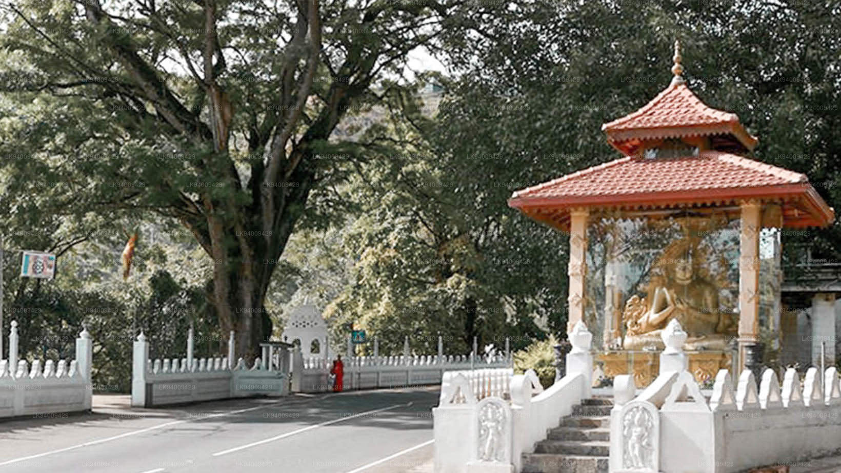
 Dowa Raja Maha Viharaya
Dowa Raja Maha Viharaya (Dowa Cape Temple) lies few kilometres away from the Bandarawela town on the Bandarawela – Badulla Road. This temple is thought to be done by King Walagamba in the in first century BC.
-
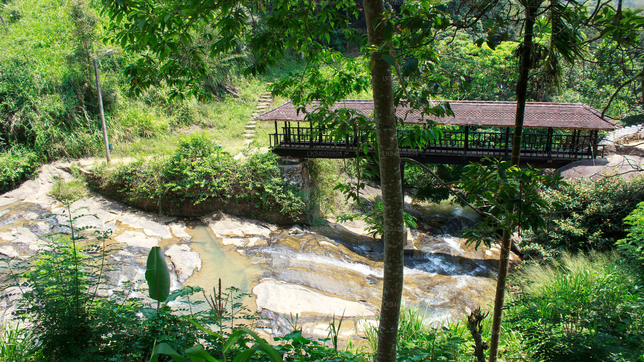
 Bogoda Wooden Bridge
The Bogoda Wooden Bridge was built in the 16th century during the Dambadeniya era. This is said to be the oldest surviving wooden bridge in Sri Lanka. The bridge is situated at 7 kilometres (4.3 mi) west of Badulla.
-
 Dunhinda Falls
Dunhinda Falls is situated about 5 km away from Badulla town. It is 63 meters high and is considered to be one of the most beautiful waterfalls in Sri Lanka. The falls gets its name dew to the smoky dew drops spray.
About Badulla District
Badulla is the capital of Uva Province in Sri Lanka. Badulla is located on the southeast of Kandy, almost encircled by the Badulu Oya , about 680 meters (2200 ft) above sea level and is surrounded by tea plantations. The town is overshadowed by the Namunukula range of mountains. Badulla is about 230km away from Colombo towards the eastern slopes of central hills of Sri Lanka.
Badulla and surroundings are highly recommended for eco-tourists as Horton Plains National Park and the Knuckles mountains are few hours away.
About Uva Province
The Uva Province is Sri Lanka's second least populated province, with 1,187,335 people, created in 1896. It consists of two districts called Badulla and Moneragala The provincial capital is Badulla. Uva is bordered by Eastern, Southern and Central provinces. Its major tourist attractions are Dunhinda Falls, Diyaluma Falls, Rawana Falls, the Yala National Park (lying partly in the Southern and Eastern Provinces) and Gal Oya National Park (lying partly in the Eastern Province). The Gal Oya hills and the Central Mountains are the main uplands, while the Mahaweli and Menik rivers and the huge Senanayake Samudraya and Maduru Oya Reservoirs are the major waterways in Uva province.
【Text by Lakpura™. Images by Google, copyright(s) reserved by original authors.】


